China's Geography Webquest
Investigating China’s Geography
*As you are investigating China’s geography, keep the following questions in mind. Be prepared to discuss your answers in class.
Essential Questions
Directions:
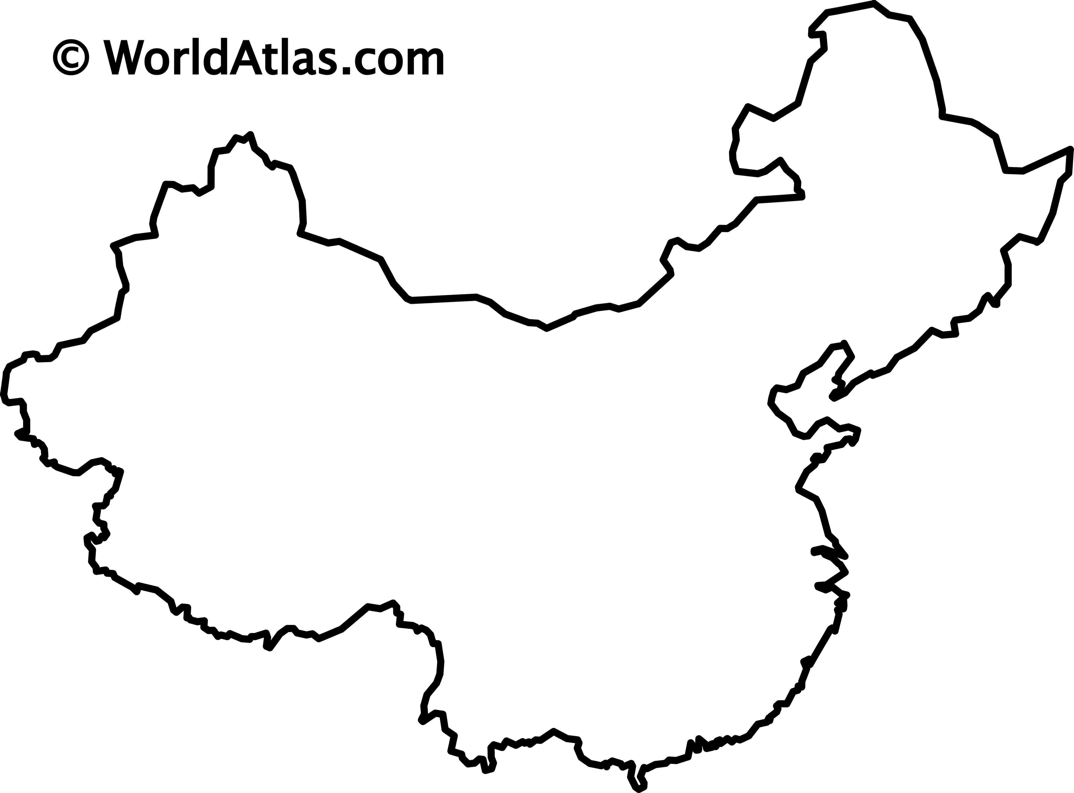
Physical Maps- Part 1
Investigate the physical map of China to find the following answers. You may write the answers on the worksheet and then label the places on your maps.
Link to physical maps of China: http://www.china.org.cn/english/eng-shuzi2003/gq/dili4.htm
Political Maps- Part 2
Investigate the political map of China to find the following answers:
China Political Map- http://www.fas.usda.gov/pecad/remote/china/chinamap.gif
Thematic Maps- Part 3
Investigate the thematic maps of China to find the following answers. You do not need to label anything on your outline map for this section, simply write down your answers.
Population Map- China’s Geography Maps and Information- http://afe.easia.columbia.edu/china/geog/maps.htm#1a
1. Is China the most populous nation in the world?
2. What areas of China are most populated?
3. Which country is bigger, China or the United States?
4. How do the most populated areas of China and of the United States differ?
5. What city has a greater population: Beijing or Shanghai?
Religions Map- China’s Religions- http://www.wadsworth.com/religion_d/special_features/popups/maps/matthews_world/content/map_91.html
1. What is the religion of most of China?
2. What religions can be found along eastern China?
3. What is the religion of Taiwan?
Rainfall Map- China’s Precipitation Map- http://maps.howstuffworks.com/china-annual-precipitation-map.htm
1. What part of China receives the most annual precipitation?
Natural Resources Map- China’s Geography Maps and Information- http://afe.easia.columbia.edu/china/geog/maps.htm#1a
1. What are some of China's natural resources?
2. What crops do the Chinese grow?
3. What part of China grows rice? Why?
~Important Links~
China’s Plains, Plateaus, and Basins- http://www.china.org.cn/english/eng-shuzi2003/gq/dili4.htm
China’s Religions- http://www.wadsworth.com/religion_d/special_features/popups/maps/matthews_world/content/map_91.html
China’s Geography Maps and Information- http://afe.easia.columbia.edu/china/geog/maps.htm#1a
China’s Precipitation Map- http://maps.howstuffworks.com/china-annual-precipitation-map.htm
China Political Map- http://www.fas.usda.gov/pecad/remote/china/chinamap.gif
Countries surrounding China- http://www.peacecorps.gov/wws/educators/lessonplans/graphics/chinamap.jpg
*As you are investigating China’s geography, keep the following questions in mind. Be prepared to discuss your answers in class.
Essential Questions
- How does geography affect the people of a region?
- What are the major physical and political characteristics of China?
- What geographic features influence life in China?
- How would someone in China describe the world differently than someone in the United States?
- Is it easy to travel across China’s borders in terms of the terrain?
Directions:
- Find the answers to the following questions and write the answers on the worksheet.
- You may use the internet and any classroom resources.
- Label the places on your blank outline map of China. Link to blank map: Blank Map of China
- Complete your map with a title, direction, scale, author, and date.
Physical Maps- Part 1
Investigate the physical map of China to find the following answers. You may write the answers on the worksheet and then label the places on your maps.
Link to physical maps of China: http://www.china.org.cn/english/eng-shuzi2003/gq/dili4.htm
- What are China's two major deserts? Which name means “enter and you shall never return”?
- What are China's three major plains?
- What are China's four major plateaus? Which is the highest?
- What are China's four major basins? Which is rich in oil reserves?
- What are China's four major seas?
- What are China's two major islands?
- Where is Mt. Qomolangma? What is its height?
- What is the name of China's longest river?
- What river is called the "Mother River of China"?
- What mountain range is found on China's western border?
- What mountain range is found on China's southern border?
Political Maps- Part 2
Investigate the political map of China to find the following answers:
China Political Map- http://www.fas.usda.gov/pecad/remote/china/chinamap.gif
- What are China’s neighboring countries? Label these on your map.
- How many provinces are there in China?
- What is the capital of China? Label it on your map.
- Locate Nanjing, Kunming, and Lijiang. Label them on your map.
- How many autonomous regions are there in China?
- What is the Special Administrative Region (SAR)? What is the country’s second SAR? Label both on your map.
Thematic Maps- Part 3
Investigate the thematic maps of China to find the following answers. You do not need to label anything on your outline map for this section, simply write down your answers.
Population Map- China’s Geography Maps and Information- http://afe.easia.columbia.edu/china/geog/maps.htm#1a
1. Is China the most populous nation in the world?
2. What areas of China are most populated?
3. Which country is bigger, China or the United States?
4. How do the most populated areas of China and of the United States differ?
5. What city has a greater population: Beijing or Shanghai?
Religions Map- China’s Religions- http://www.wadsworth.com/religion_d/special_features/popups/maps/matthews_world/content/map_91.html
1. What is the religion of most of China?
2. What religions can be found along eastern China?
3. What is the religion of Taiwan?
Rainfall Map- China’s Precipitation Map- http://maps.howstuffworks.com/china-annual-precipitation-map.htm
1. What part of China receives the most annual precipitation?
Natural Resources Map- China’s Geography Maps and Information- http://afe.easia.columbia.edu/china/geog/maps.htm#1a
1. What are some of China's natural resources?
2. What crops do the Chinese grow?
3. What part of China grows rice? Why?
~Important Links~
China’s Plains, Plateaus, and Basins- http://www.china.org.cn/english/eng-shuzi2003/gq/dili4.htm
China’s Religions- http://www.wadsworth.com/religion_d/special_features/popups/maps/matthews_world/content/map_91.html
China’s Geography Maps and Information- http://afe.easia.columbia.edu/china/geog/maps.htm#1a
China’s Precipitation Map- http://maps.howstuffworks.com/china-annual-precipitation-map.htm
China Political Map- http://www.fas.usda.gov/pecad/remote/china/chinamap.gif
Countries surrounding China- http://www.peacecorps.gov/wws/educators/lessonplans/graphics/chinamap.jpg
